
The El Niño cyclone season the South Pacific is about to get in 2026 sits on top of an event New Zealand's national forecaster says may become the strongest on record. The season opens on 1 November. If your boat is in Fiji or Tonga right now, this is what it changes and the order we would make the decisions in.
Where the El Niño sits at the start of October
These are the forecasters' numbers, not ours:
- The October Island Climate Update from Earth Sciences New Zealand has the central Pacific index, NINO3.4, at 2.74°C above normal for the 30 days to 14 September.
- The same update gives a 100 percent chance of El Niño lasting into early 2027 and says: "This El Niño may become the strongest El Niño on record."
- Their seasonal outlook, issued 1 October, calls it very strong already and expects it to strengthen further, peaking in late spring or early summer. One of their indices has passed the 1997 values for this time of year.
- For October to December the update favours significantly below normal rainfall for Fiji, Tonga, Vanuatu, New Caledonia and Samoa.
So "biggest on record" is a forecast for now. We covered the first declaration in the September round-up. This post is about the cyclone side only.
The official cyclone outlook is not out yet
The Southwest Pacific tropical cyclone outlook had not been published when we wrote this. The last two came out on 9 October 2024 and 8 October 2025, so it should be close. The Fiji Meteorological Service puts out its own as well. Until both land, nobody can give you a cyclone count and we are not going to guess one.
The long-term average is around nine named cyclones a season, with the peak usually January to March.
What El Niño does to cyclone tracks
The band of cloud and rain called the South Pacific Convergence Zone has a lot to do with where cyclones form and where they go. In a typical El Niño year it sits north-east of its normal position, and the cyclone risk moves with it. An earlier El Niño-year outlook from the same forecaster, written for the island met services, put it like this:
- Elevated risk of cyclone origins and tracks east of the Date Line, especially for the Southern Cook Islands.
- A strong east to south-east slant to the tracks.
- How strong a cyclone gets depends on how long it stays in the tropics drawing on warm water.
One more thing from this month's outlook. Out of season cyclones are rare, and when they do happen they are more common in El Niño years.
What the last two big El Niños did
1997 to 98. The South Pacific had 16 tropical cyclones, seven of them severe, which is still listed as the most active season on record. Ten formed east of the Date Line and seven of those went on to affect French Polynesia. Cyclone Martin formed on 27 October, before the season had officially opened, and killed 28 people. The last one, Bart, was still going on 3 May. Fiji was forecast an average risk that year. The worst of the season went east.
2015 to 16. The outlooks called for an above average season of 11 to 13 named cyclones. The basin produced eight. One of the eight was Winston, which crossed Viti Levu as a Category 5 on 20 February 2016, killed 44 people and is the most intense tropical cyclone on record in the Southern Hemisphere.
Put those two seasons side by side. In one the activity went east, the way the textbook says. In the other the count came in under the forecast and Fiji took the worst cyclone the hemisphere has recorded. Both were strong El Niño years. The shift east is true as an average and tells you nothing about the one cyclone that matters to your boat.
The Atlantic has had no hurricanes at all
The same El Niño is why the Atlantic is so quiet. As of 30 September the Atlantic season had produced eight named storms and not one hurricane. On 11 September it passed the latest date for a first hurricane in the satellite era, a record previously held by 2002 and 2013. Wind shear over the Caribbean in July was the highest since records began in 1979.
The Pacific got the other half. The eastern Pacific has had two Category 5 hurricanes this year, and one of them, Lowell, went on to sink a 63 ft yacht in her slip in Hawaii. That one is in our post on cyclone prep in a marina berth.
An El Niño this size is already moving storms around on the other side of the world, months before our own season starts.
What it means for a boat sitting in Vuda or Savusavu
The El Niño does not change which options you have. It changes how much you can lean on the calendar and on what happened last year.
- Fiji is not let off. Winston is the proof. If the outlook has Fiji at normal or reduced risk, read that as an average across the season.
- Be set up early. Martin formed in October. If the plan is a haul out and tie down, we would want it done before 1 November, not some time in November.
- The eastern groups are the wrong side this year. A season in Tonga, the Cooks or French Polynesia is a different bet in a strong El Niño than in a La Niña year.
- Water. Fiji is forecast a dry spring. If someone is living aboard through it, the watermaker has to work or the berth needs town water.
The options themselves, pits, hauling out, mangroves, going north, are in our South Pacific cyclone season plan.
The order we would make the decisions in
- Read the policy. The cyclone area, the dates and what the insurer accepts inside it.
- Going south or west. Leave on a weather window, and do not let the departure drift toward the end of November because the last one looked a bit average. Early systems are more likely in an El Niño.
- Staying in Fiji. Ashore and strapped to proper anchor points is our first choice for a catamaran, and the booking should already be made. If the boat is staying afloat, do the dock walk from the Lowell post before you pay for the berth.
- Planning a season east of the Date Line. Go back to the insurer and to the 1997 list above before you commit. This is the year that history counts against that plan.
- Read both outlooks when they come out. Use them to adjust where the boat sits. A low number is not a reason to stay somewhere you otherwise wouldn't.
- Keep the boat able to move. Engines running, ground tackle sorted, someone watching her who can carry out the plan if you are not there.
What it changes for the run to New Zealand
The 1 October outlook expects more frequent westerly airflows over New Zealand this season, with stronger and gustier winds. That describes three months, not your departure week. What we take from it is to be pickier about the back end of the window, the last two days into Northland. The rest of the planning is in the Fiji to New Zealand passage guide.
New Zealand is south of the belt but not out of reach. On average at least one ex-tropical cyclone passes within 550 km of the country each year.
What we do
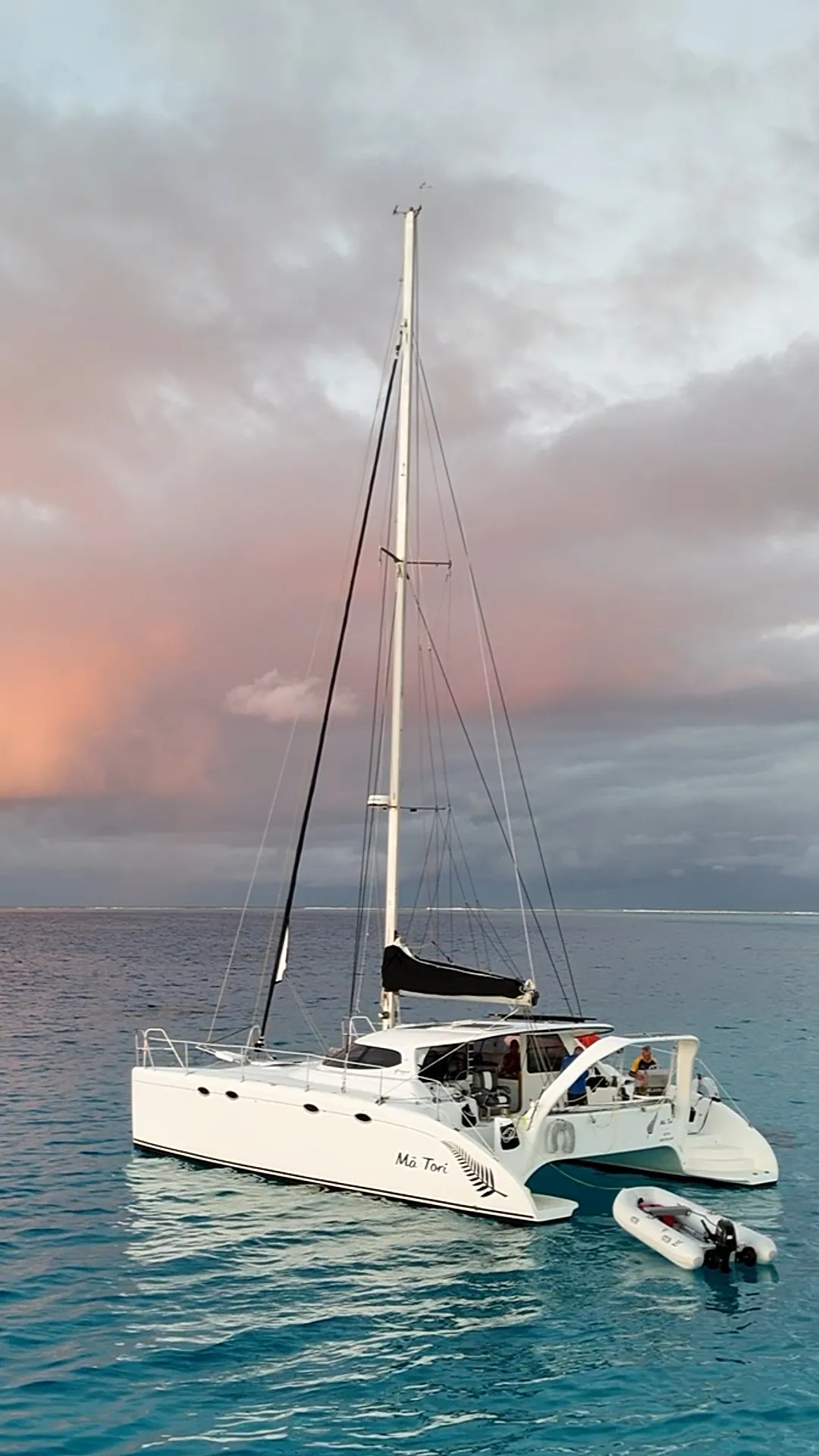
We take Mā Tori south to New Zealand every season and have done four years running. An El Niño like this one is the kind of year that plan is for. We have not sat out a cyclone season in the tropics, so everything above about staying is what we would do and not what we have done.
Outlooks, warnings and policy terms change. Check the current Southwest Pacific tropical cyclone outlook, the Fiji Meteorological Service warnings and your own insurer's wording before you rely on any of this.
Questions people ask about El Niño and cyclones
Does El Niño mean more cyclones in the South Pacific?
Not always more, but in different places. The risk moves east toward the Cooks and French Polynesia. In 1997 to 98 the basin had 16, its most active season on record.
Is Fiji safer from cyclones in an El Niño year?
No. Winston crossed Viti Levu as a Category 5 in February 2016, in an El Niño year.
When is the 2026 to 27 cyclone outlook released?
It was not out on 3 October 2026. The last two were published on 9 October 2024 and 8 October 2025.
When does the South Pacific cyclone season start and end?
Officially 1 November to 30 April, peaking January to March. Cyclones form outside those dates, more often in El Niño years.
Does El Niño change the passage from Fiji to New Zealand?
The seasonal outlook expects more westerly airflows and stronger winds over New Zealand. You still leave on a window, not on a seasonal average.
Keep reading: where the fleet goes and why is in the cyclone season plan, the Cat 1 side of taking a boat south is in the New Zealand buying guide, the survey checklist is in the Catamaran Buyer's Pack, and our bluewater catamaran for sale is the boat this was written from.